Why Worksite Delineations Matter
Why Worksite Delineations Matter
Before a utility locator can determine what needs to be located, there is a more basic question that needs to be answered:
Where exactly is the work going to take place?
That is the purpose of a worksite delineation.
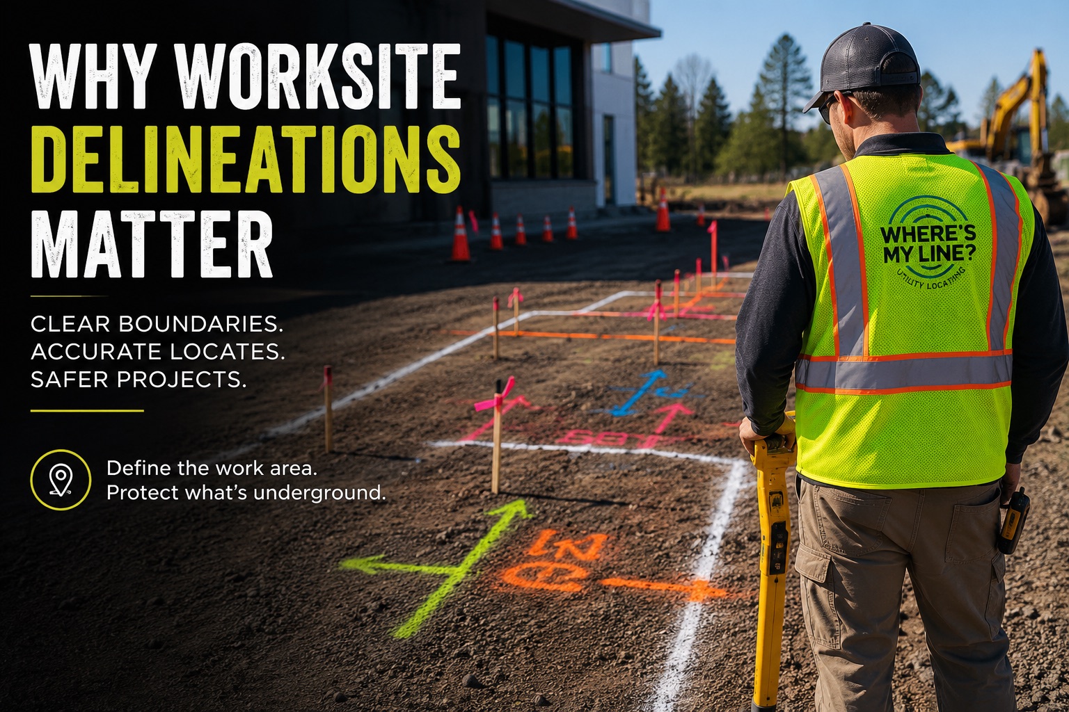
A properly delineated work area gives the locator a clear, physical representation of the excavation or construction scope. It shows where the work begins, where it ends, and what area the locate is intended to cover.
What Is a Worksite Delineation?
Worksite delineation, often called white lining, is the process of physically marking the proposed excavation area before locating begins.
White is used to distinguish the proposed work area from the colored markings used to identify underground utilities. Depending on the surface and conditions, the work area can be identified using white paint, chalk, flags, stakes, whiskers, or other appropriate white marking materials. In some situations, even white flour can be used.
The important part isn’t necessarily what material is used.
The important part is that the work scope is obvious.
The Entire Work Scope Should Be Encompassed
One of the most common problems with poorly defined work areas is that they indicate a direction or distance without actually defining the complete footprint of the work.
For example, marking one side of a project and writing “500’ →” tells the locator that the work continues 500 feet, but it may not clearly show where the work ends, how wide the excavation will be, or where the opposite boundary is.
A properly delineated work area should encompass the entire proposed work scope.
If the work area is rectangular, the markings should communicate that rectangle. If the work follows a different shape, the markings should follow that shape.
The goal is simple:
The locator shouldn’t have to guess where the work begins, where it ends, or how far the scope extends.
Why Does This Matter?
A clear work scope allows the locator to understand exactly where the excavation is planned.
It also creates an important physical reference for the documentation produced after the locate.
Consider a photograph taken after the utilities have been marked. If the work area isn’t clearly identified, someone looking at that photograph later may be able to see the utility markings but not know whether those markings were inside or outside the actual work scope.
A complete delineation provides that missing context.
It shows not only what was located, but where the work was supposed to happen.
That can become especially important if the project later involves a utility damage, a scope dispute, or questions about what area was actually included in the locate.
The Work Area Can Change
A delineation represents the scope of the work being performed.
If the contractor changes the project, expands the excavation, or moves the work into an area that wasn’t originally marked, the physical delineation should be updated and additional locating may be necessary.
The markings should accurately represent the area where excavation is actually going to occur.
The physical markings should match the physical work.
Need the private lines marked?
Tell us the site and the scope — we will come back with availability.